Qgis is an open source software platform to perform a set of geographical information system (GIS) analysis. This section will help get the user started on the application of the software. The next section will introduce the Qgis Space Syntax Toolkit.
1. Start by downloading the long term release of QGIS in its website .
2. Save it into the folder you would like the programme to be installed
3. Double click on the installer and follow the instructions to install.
4. Once it finished. Go to Start for windows -> Qgis -> click on the latest long term release version of QGIS desktop.
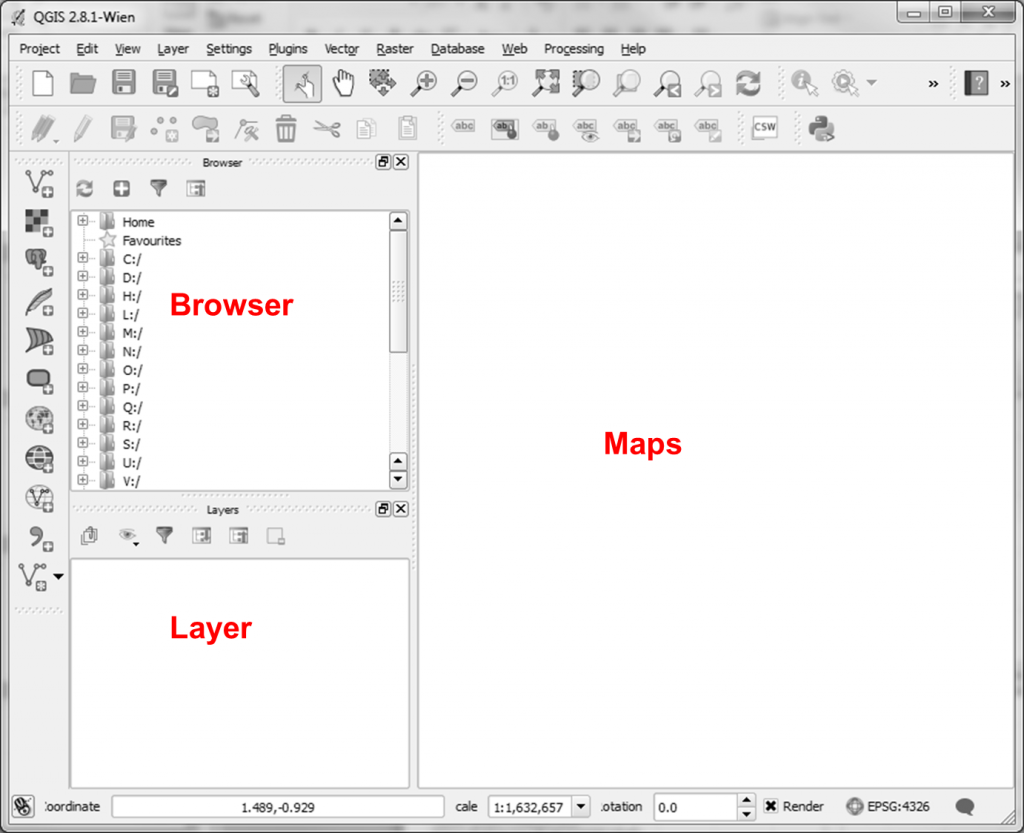
5. The main QGis graphical interface (A) will now be visible. There are 8 tabs available namely: File, Edit, Map, Attributes, Tools, View, Window, Help.
- the top left pane identifies the file layers
- the bottom left pane identifies the measures
- the right pane identifies the map drawn.